The Canadian province of British Columbia has a system of numbered highways that travel between various cities and regions with onward connections to neighboring provinces and U.S. states. The numbering scheme, announced in March 1940, includes route numbers that reflect United States Numbered Highways that continue south of the Canada–United States border. Highway 1 is numbered in accordance with other routes on the Trans-Canada Highway system.
Major routes
East–west
- The Trans-Canada Highway (Highway 1) runs from Victoria to Nanaimo on Vancouver Island. Then, after a ferry ride to the mainland, it continues from Horseshoe Bay, through the Vancouver area, Abbotsford, Hope, Kamloops, Salmon Arm, and Revelstoke to Kicking Horse Pass on the BC/Alberta border. This is the major east–west route in the province.
- The Crowsnest Highway (Highway 3) runs from Hope, then through Osoyoos, Castlegar, Cranbrook, right to Crowsnest Pass on the BC/Alberta border. This is a southern alternate route to the Trans-Canada, and runs very close to the Canada–US border.
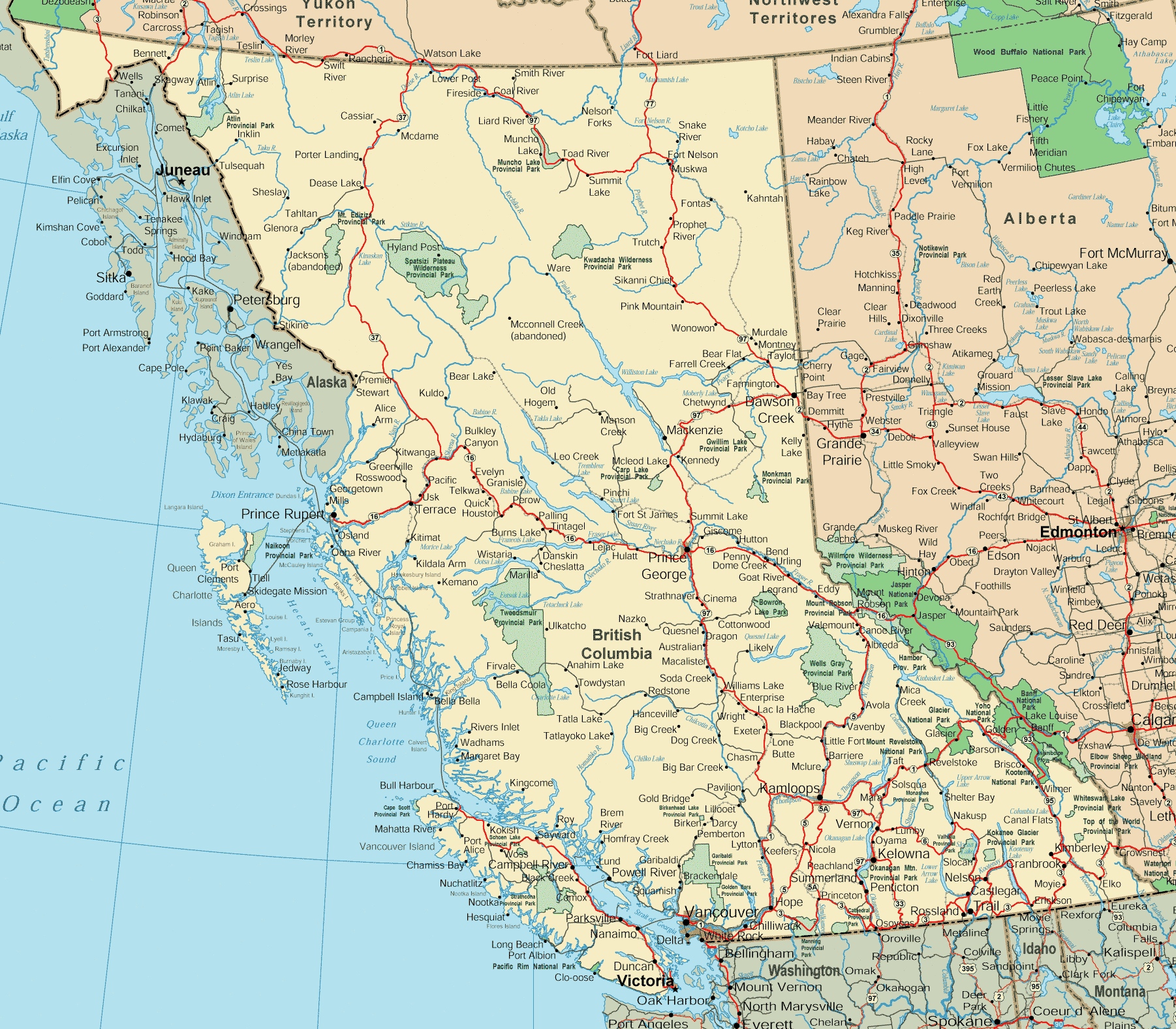
- The Yellowhead/Trans-Canada Highway (Highway 16) starts on Haida Gwaii. After a ferry ride to the mainland, it runs from Prince Rupert through Smithers and Prince George, and then meets the Alberta border at Yellowhead Pass.
- The Lougheed Highway (Highway 7) is a major alternate route that runs from Vancouver to Hope, north of the Fraser River.
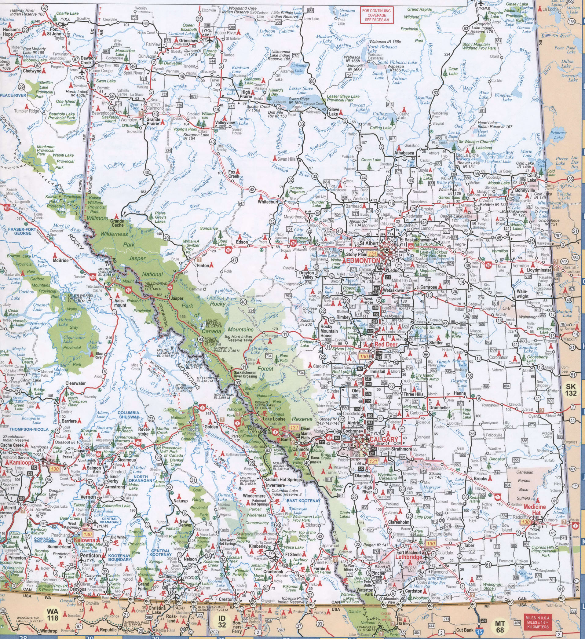
- The Okanagan Connector (Highway 97C) is a short but major route that connects the Okanagan Valley to the Coquihalla Highway (Highway 5) at Merritt. 97C branches off Highway 97 at Peachland, about midway between Penticton and Kelowna.
North–south
- The Island Highway (Highway 19) is an extension of Highway 1 on Vancouver Island. It runs from Nanaimo and provides access to all points northbound on Vancouver Island, including Parksville, Courtenay, Comox, Campbell River, and Port Hardy.
- The Patricia Bay Highway (Highway 17) starts in Victoria and heads northward through Saanich to the Swartz Bay ferry terminal. Recently, there was a gap between the segments of Highway 17 (now filled in with the SFPR), as the Mainland portion was designated as Highway 17A. The new South Fraser Perimeter Road has been named as Highway 17, and presently is open in Delta and Surrey between Highway 17a and Highway 15.
- Highway 99 starts as an extension of Interstate 5 at the Canada–US border in Surrey as a freeway until entering the city of Vancouver. There it becomes a series of various heavily signalized major city core thoroughfares, notably Granville Street and Georgia Street. After crossing the Lions Gate Bridge, the highway - now known as the Sea-to-Sky Highway, is a two-to-four lane route that accesses Squamish and Whistler, before veering east and meeting with Highway 97 north of Cache Creek.
- The Coquihalla/Southern Yellowhead Highway (Highway 5) is a freeway that bypasses the slower Fraser Canyon portion of the Trans Canada Highway, connecting the cities of Hope, Merritt, and Kamloops. The segment between Hope and Merritt was a toll highway until 2008. North of Kamloops, the route is known as the Southern Yellowhead Highway, and meets up with the main route of the Yellowhead Highway near the Alberta border.
- Highway 97 is the longest highway in the province. The highway starts at the Canada–US border near Osoyoos. The highway, here known as the Okanagan Highway, passes through the major Okanagan Valley cities of Penticton, West Kelowna, Kelowna, and Vernon, before ending in Kamloops. From Kamloops, it is known as the Cariboo Highway, and passes through Cache Creek, Williams Lake, Quesnel, and ends in Prince George. North from there, it is known as the John Hart Highway, and ends in Dawson Creek. From there, the highway then is known as the famed Alaska Highway, and travels northwest through the province until it reaches the Yukon border.
Route list
List is current as of May 2017, according to the British Columbia Ministry of Transportation. All routes are signed with the standard "BC Primary Highway Marker" shield, except where stated as "Unsigned", signed under a street name, signed with the Trans-Canada, Yellowhead, Crowsnest, or Nisga'a route marker, or cosigned with any combination of the above, in the "Notes" column.
Unnumbered highways
The following routes are maintained by the Ministry of Transportation as part of British Columbia's highway system, but they are Currently unnumbered.
Unofficial numbers
Provincially maintained roads with informal or unofficial numbers:
Pseudo routes
Provincially maintained routes which are unnumbered. Route numbers are unsigned and internally referred to as "pseudo-numbers". Pseudo-numbers start with a 9, followed by a two-digit number designating a "transportation district", a colon, and then a four-digit number derived from the province's Landmark Kilometre Inventory system.
Yukon highways in British Columbia
The following routes are within British Columbia but are considered part of the Yukon highway system. Although the Alaska Highway crosses the 60th parallel north, and thus the border with the Yukon, nine times (including six crossings between historic miles 588 and 596), the highway route number changes just once, between Lower Post, British Columbia, and Watson Lake, Yukon. The Yukon section east of here is maintained by Public Works Canada as part of the B.C. portion of Highway 97, while the B.C. section west of here is maintained by the Yukon Government as part of Yukon Highway 1.
Defunct route numbers
The first two freeways built in British Columbia were given 400-series numbers, much like the 400-Series Highways in Ontario. Highways 401 and 499 were renumbered 1 and 99 respectively in 1973. The section of Highway 37 between Terrace and Kitimat was known as Highway 25 until 1986. In recent years, many routes have been devolved to regional and/or municipal authorities and have lost their official highway status, notably the Fraser Highway in the Lower Mainland (formerly part of Highway 1A) and West Saanich Road on Vancouver Island (formerly Highway 17A). Also King George Highway through Surrey was renamed by the City in 2010 to King George Boulevard. (formerly British Columbia Highway 99A).
Defunct lettering system
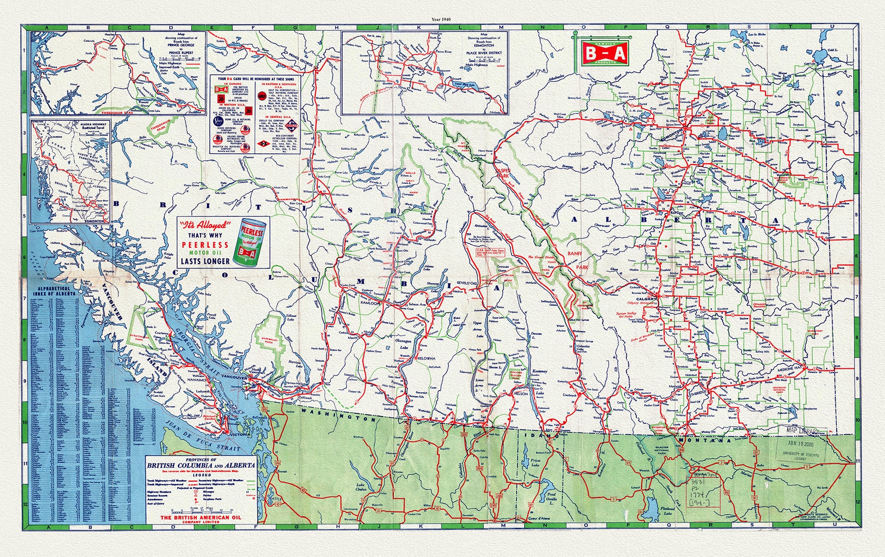
Prior to 1940, British Columbia classified its major roads with letters. Ultimately, in 1939 or early 1940, a decision was made by the Department of Public Works (now the British Columbia Ministry of Transportation and Infrastructure) to replace the lettering system with the familiar number system. This transition took place during the 1940/1941 fiscal year and led to the installation of route markers along multiple highways.
References
External links
- Official Numbered Routes in British Columbia (British Columbia Ministry of Transportation)
- Map of numbered highways in British Columbia
- British Columbia Highway Cams
- Drive BC
- British Columbia Highways Website
.svg/36px-BC-5_(Yellowhead).svg.png)